|
Historical Map 1840-1920
More Maps
Look to the right of each map for minimal commentary. All the information is on the map.
Note the spread of mills throughout the area as automation takes over from the hand looms.
Leyland did not escape the Victorian population growth as can be seen from the urban spread that takes place at this time.
It is very interesting to see which buidings you can recognise today.
|
|
|
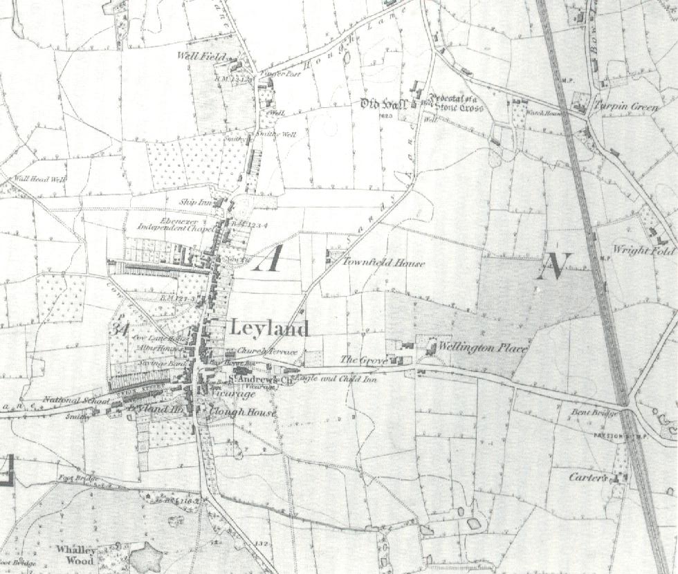
Leyland East 1840
The Northen Union Railway comes tp town running North to South on the right of the map. The townspeoples cottages are increasing in the village. The future of the towns development is to be heavily influenced by the positioning of the railway. |
|
|
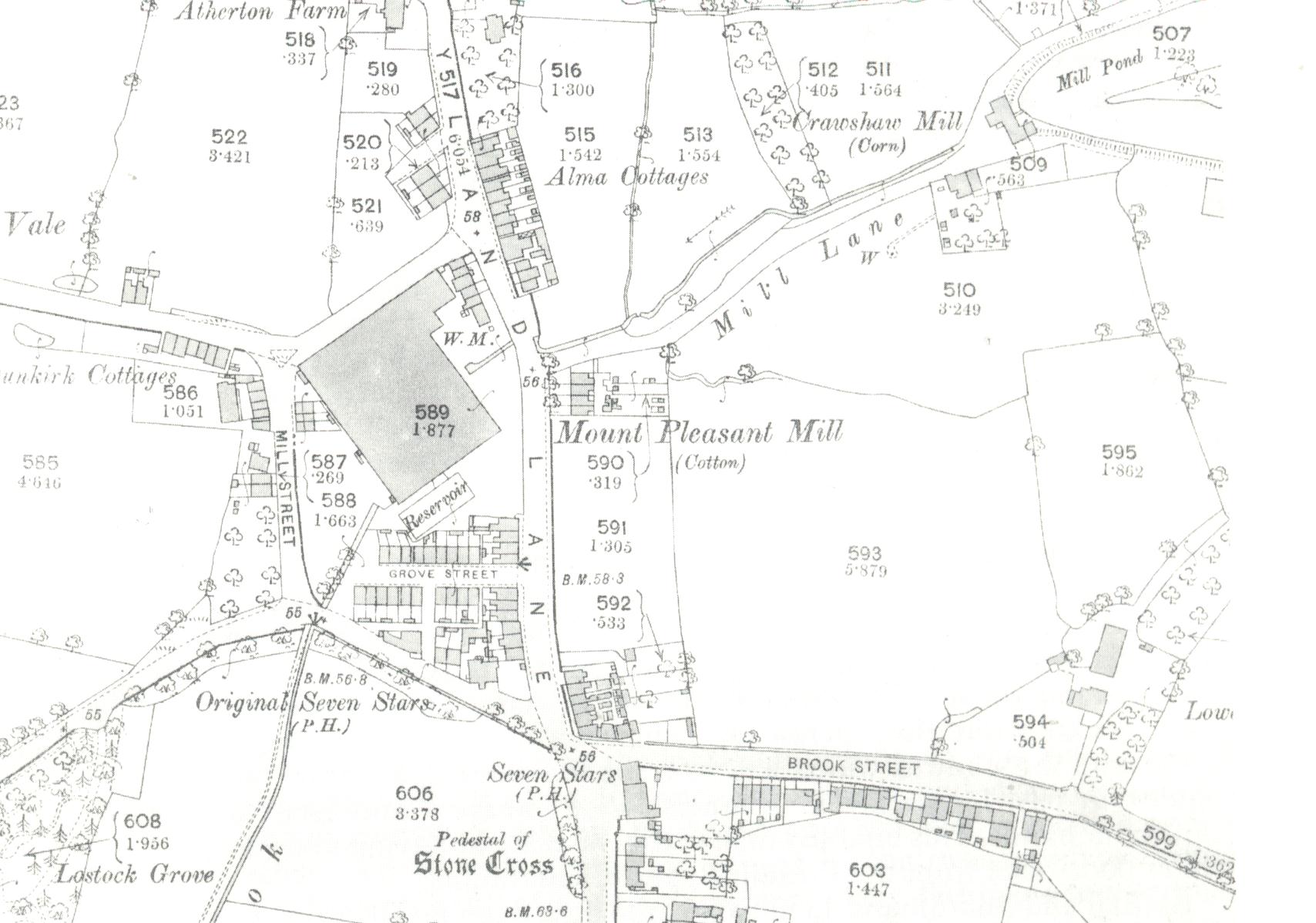
1893 Seven Stars
Development continues towards the outskirts of town. Brook Street is now Fox Lane under one of it's many guises.
|
|
|
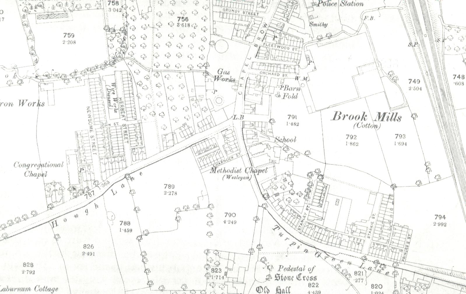
1893 Chapel Brow
Development spreads towards Hough Lane and Chapel Brow. |
|
|
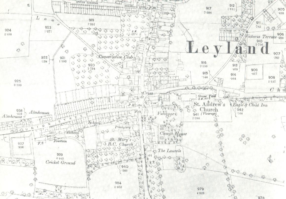
1893 The Village
Urbanisation continues through the village. We now have a cricket ground as well.
The Almshouses now appear as they are today.
|
|
|
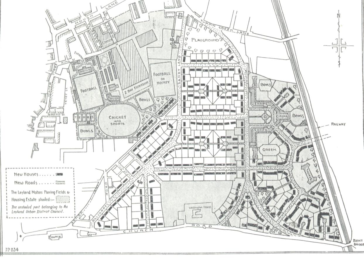
1920 Plans for new Town.
These were the plans of Leyland motors for the development of a new Garden Town. Note all the green open spaces and Sports facilities. The development took place very much according to plan and is responsible for the charm of the town today. |
|
|
|
|
|
|